Discover unparalleled precision and reliability with DK Drones.
Leading the Future of Aerial Surveying
DK Drones is the industry leader in drone survey solutions, providing advanced services for power line monitoring, road inspection, smart city planning, and more. With cutting-edge technology and a commitment to excellence, we deliver precise and reliable results for a wide range of applications. Explore the skies with confidence with DK Drones.

Pushing boundaries with accurate aerial data for smarter decisions and enhanced operations.
At DK Drones, we offer a comprehensive range of advanced aerial surveying and mapping solutions tailored to meet the specific needs of our clients. Our services include:

We are committed to delivering high-quality services and continuously innovating to stay ahead in the drone survey industry.
Benefit from our expertise as pioneers in the field of aerial surveying, ensuring unmatched accuracy and efficiency in every project.
Lorem ipsum dolor sit amet, consectetur adipiscing elit. Ut elit tellus, luctus nec ullamcorper mattis, pulvinar dapibus leo.
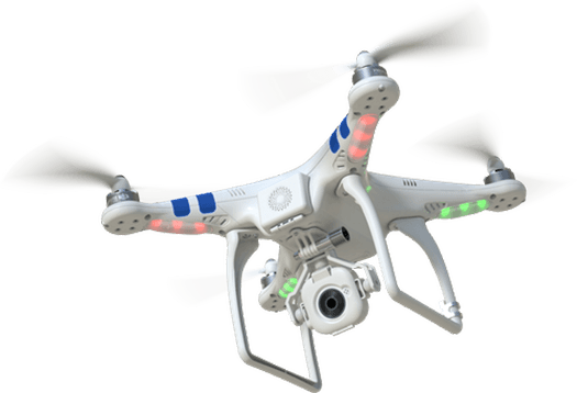
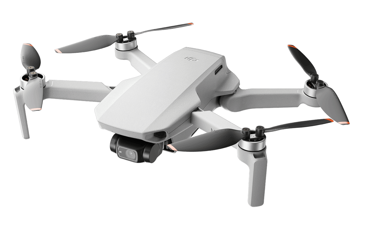
Stay at the forefront of innovation with our advanced drone technology, providing state-of-the-art capabilities for comprehensive data collection and analysis.
Discover limitless potential with our drones, delivering unmatched performance and reliability for your aerial surveying and mapping needs.
Sed placerat praesent sit cursus dapibus at per. Eu torquent turpis dis praesent nisi imperdiet facilisi vestibulum lorem posuere.
Id gravida nascetur est dignissim dictum lectus nullam morbi posuere.
Explore unreachable perspectives with our aerial photography services, perfect for capturing unique angles and inaccessible locations with precision and clarity.
Embark on your next aerial project with confidence. Partner with us for expert drone solutions tailored to your exact needs, ensuring precision, innovation, and exceptional results from start to finish.
DK Drones is the industry leader in drone survey solutions, providing advanced services for power line monitoring, road inspection, smart city planning, and more.